Read marks with the chart
Buoys and navigation marks: IALA Regions A and B
Understand lateral and cardinal buoys, IALA A versus B, danger marks and flashing lights, then practise labeled navigation-mark exercises.
The essentials
Start with the situation
Navigation marks help identify channels, dangers and other features. Interpreting a buoy means combining its body colour, shape, topmark and, when lit, its light character with the chart. Passing clear of the buoy itself does not necessarily keep you clear of the danger it marks.
RulesAtSea includes exercises for both IALA regions, plus shared marks and linked harbour approaches. Start with recognition, then practise making a passage decision. Each Region A or B exercise states its region so you can revise the convention you need.
This guide covers: IALA A and B practice using fictional approaches. Choose the labeled region for each exercise; local publications provide the actual direction and mark details.
Region A and Region B reverse lateral colours
Lateral marks describe channel sides in the conventional direction of buoyage. In Region A, port-hand marks are red and starboard-hand marks green. In Region B, port-hand marks are green and starboard-hand marks red. Port-hand can or cylindrical forms and starboard-hand cone forms retain their meanings across the regions.
The UK uses Region A; Canada uses Region B. First establish the direction of buoyage from the chart and local publications. It is commonly from seaward into a harbour, but a general “returning” mnemonic is not enough to resolve every river, connected channel or coastal route. When travelling against the conventional direction, the marks’ passing sides relative to your boat reverse.
| In the direction of buoyage | Region A | Region B |
|---|---|---|
| Port-hand mark | Red; can or cylindrical topmark | Green; can or cylindrical topmark |
| Starboard-hand mark | Green; cone or cone-up topmark | Red; cone or cone-up topmark |
Put this into practice
Entering harbour at dusk
Follow IALA Region A lateral marks when entering from seaward.IALA lateral marks, Region APractise this situationPort-hand mark · Region B · day
Recognise port-hand mark · region b from its original daymark portrayal.IALA lateral marks · Region BPractise this situationStarboard-hand mark · Region B · day
Recognise starboard-hand mark · region b from its original daymark portrayal.IALA lateral marks · Region BPractise this situationLeaving the channel · Region B
Apply lateral buoyage on an outward passage without swapping the physical mark definitions.IALA lateral marks · Region BPractise this situation
Cardinal marks name the side of safe water
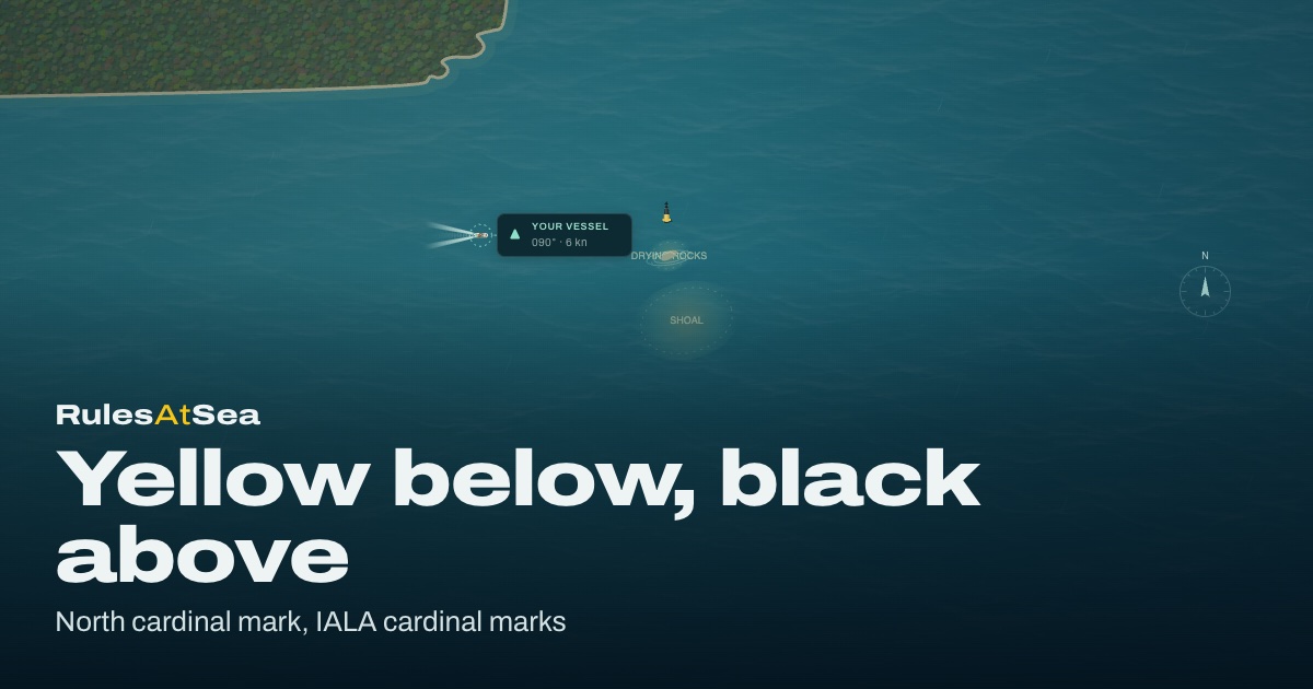
North, east, south and west cardinal marks indicate the named side on which the safest water is found relative to the mark. They use black and yellow bands with two black cone topmarks. Both cones point up for north and down for south; east points outward and west points inward. Use the chart to understand the danger and the room available.
Their white lights are quick or very quick. North is continuous; east is grouped in three; south is six followed by a long flash; west is grouped in nine. The clock-face memory aid helps recall east, south and west, but keep the south long flash in the answer. Observe a complete sequence so that the darkness between groups is part of your identification.
Put this into practice
Yellow below, black above
Read a north cardinal mark and pass on its named side.IALA cardinal marksPractise this situationThree quick flashes
Identify a cardinal mark at night from its light character.IALA cardinal mark lightsPractise this situationSouth cardinal · night
Recognise south cardinal from its live light.IALA cardinal marksPractise this situationWest cardinal · day
Recognise west cardinal from its original daymark portrayal.IALA cardinal marksPractise this situation
Isolated danger and safe-water marks are different
An isolated-danger mark is placed on or above a danger of limited extent with navigable water around it. It is black with broad red horizontal bands, two black ball topmarks and, when lit, a white group of two flashes. Establish the danger’s extent from the chart; the mark does not prescribe a universal clearance distance.
A safe-water mark has red and white vertical stripes and a red ball topmark. Its white light may use one of several permitted characters. It indicates navigable water all around and may mark a landfall, channel entrance or centreline. Local channel practice matters: the Canadian publication gives specific passing guidance for its fairway buoys.
Junctions, special marks and newly marked wrecks
Preferred-channel marks are modified lateral marks with a broad contrasting band. In the direction of buoyage, the dominant colour and lateral form help identify the side on which to leave the mark for the preferred branch. When lit, their composite group is two flashes plus one. Read the chart before choosing the branch: “preferred” does not guarantee it suits every draught or destination.
A yellow special mark indicates a specified area or feature, with a yellow X topmark where fitted. Its purpose comes from the chart or publication. Emergency wreck marks use blue and yellow vertical stripes, a yellow upright cross and alternating blue and yellow lights. Their distinctive appearance warns you to establish the newly marked danger and consult current information.
Put this into practice
A fork in the channel · Region A
Connect preferred-channel appearance to a charted route and its hazards.IALA modified lateral marks · preferred channelPractise this situationA fork in the channel · Region B
Connect preferred-channel appearance to a charted route and its hazards.IALA modified lateral marks · preferred channelPractise this situationSpecial mark · day
Recognise special mark from its original daymark portrayal.IALA special marksPractise this situationEmergency wreck-marking buoy · night
Recognise emergency wreck-marking buoy from its live light.IALA emergency wreck markingPractise this situation
Combine marks, depth and the approach plan
A complete approach decision uses more than colour. Read the direction arrow, charted depths, hazards and any leading marks or light sectors. The fictional harbour voyage links those observations in stages: plan the water available, interpret a junction, align leading marks, answer a bend warning and assess channel traffic.
Begin with the individual recognition exercises and then follow a harbour approach for the region you are revising. Before a real voyage, use current charts, notices and light lists. Practice scenes deliberately state their depth, water level and hazards; those values describe the exercise rather than a real harbour.
Put this into practice
Choose a passage with enough water
Use charted depths, water level and draught when choosing a passage.Chart 1 · soundings and contoursPractise this situationHaven approach · A · day · plan
Plan an approach from multiple chart features before relying on a visual cue.Chart 1 · approach planningPractise this situationHaven approach · B · day · plan
Plan an approach from multiple chart features before relying on a visual cue.Chart 1 · approach planningPractise this situation
Questions from the watch
Common questions
Is red always kept to starboard when entering?
In Region B, red starboard-hand marks are kept to starboard when following the conventional direction. Region A uses red port-hand marks. Establish both the region and the direction first.
Does a cardinal mark change meaning between A and B?
The cardinal system is shared across both regions. Lateral and modified lateral colours are the principal regional distinction.
Sources and further reading
Use these references for the full rules, official guidance and course requirements.
- IALA · R1001 Maritime Buoyage System
The international reference for Regions A and B and the characteristics of navigation marks.
- Canadian Coast Guard · The Canadian Aids to Navigation System
Canadian Region B lateral aids, cardinal aids, light characters and local use of navigation marks.
- Canadian Hydrographic Service · Chart 1
Chart symbols and abbreviations should be read together with the navigation marks.
Updated